The ocean floor remains one of Earth’s last great frontiers, holding secrets that could revolutionize our understanding of marine ecosystems, geological processes, and planetary history.
Advanced seafloor habitat mapping technologies are transforming how scientists explore these hidden depths, revealing landscapes as diverse and complex as any found on land. From towering underwater mountains to mysterious hydrothermal vents, these mapping techniques are unlocking mysteries that have remained concealed beneath the waves for millennia.
🌊 The Revolution in Underwater Cartography
Seafloor habitat mapping has evolved dramatically over the past few decades. What once required years of painstaking sonar surveys can now be accomplished in months or even weeks, thanks to cutting-edge technologies that combine multiple data collection methods. These advanced systems integrate acoustic mapping, optical imaging, and environmental sensors to create comprehensive three-dimensional models of underwater environments.
Modern multibeam sonar systems represent a quantum leap forward in our ability to visualize the ocean floor. These sophisticated instruments emit multiple sound beams simultaneously, measuring the time it takes for each beam to return after bouncing off the seafloor. The result is a detailed bathymetric map that reveals underwater topography with unprecedented precision.
The Technology Behind the Discovery
Contemporary seafloor mapping relies on a sophisticated array of technologies working in concert. Autonomous underwater vehicles (AUVs) equipped with advanced sensors can dive to extreme depths, collecting data in environments too dangerous or remote for human exploration. These robotic explorers navigate autonomously, following pre-programmed routes while continuously gathering acoustic, visual, and environmental data.
LiDAR technology, traditionally used for terrestrial mapping, has been adapted for shallow water environments where light can still penetrate. This creates incredibly detailed surface models that capture fine-scale habitat features essential for understanding marine biodiversity. Combined with satellite-derived bathymetry for shallow coastal areas, scientists can now create seamless maps spanning from shoreline to deep ocean.
🔍 Unveiling Hidden Ecosystems and Geological Wonders
Advanced mapping techniques have revealed ecosystems that challenge our understanding of life itself. Hydrothermal vent communities, first discovered in 1977, continue to surprise researchers with their biodiversity and adaptation strategies. Modern habitat mapping allows scientists to predict where these features might occur, accelerating the pace of discovery and protection efforts.
Cold seep communities, where methane and other hydrocarbons leak from the seafloor, represent another fascinating discovery enabled by advanced mapping. These unique habitats support specialized organisms that thrive on chemical energy rather than sunlight, fundamentally altering our conception of what makes an ecosystem viable.
Coral Reefs and Seamount Ecosystems
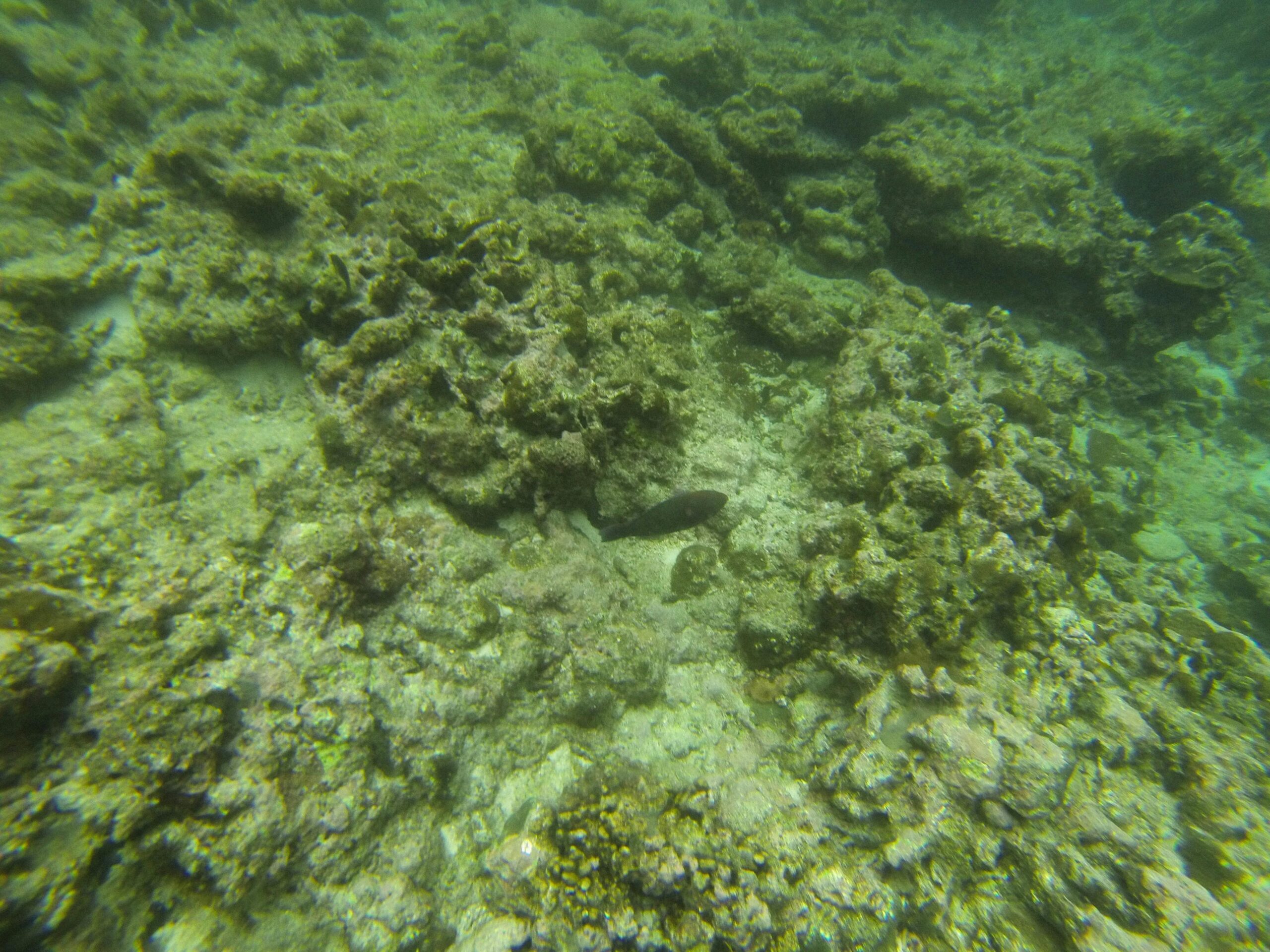
Deep-sea coral reefs, unlike their shallow-water counterparts, exist in complete darkness at depths exceeding 200 meters. Seafloor habitat mapping has revealed that these structures are far more extensive than previously imagined, forming complex three-dimensional habitats that support diverse marine communities. The mapping data shows intricate patterns in coral distribution, often correlating with specific oceanographic conditions and geological features.
Seamounts, underwater mountains that rise thousands of meters from the ocean floor, create unique ecosystems that serve as biodiversity hotspots. Advanced mapping has identified thousands of previously unknown seamounts, each potentially harboring endemic species found nowhere else on Earth. These geological features influence ocean currents, creating upwelling zones that concentrate nutrients and support productive fisheries.
📊 Data Integration and Analysis Techniques
The sheer volume of data generated by modern seafloor mapping campaigns presents both opportunities and challenges. A single multibeam sonar survey can generate terabytes of raw data requiring sophisticated processing algorithms to transform into usable maps and models.
Machine learning algorithms are increasingly employed to classify seafloor habitats automatically. These systems can identify patterns in acoustic backscatter data that correspond to different substrate types, from soft sediments to hard rock. This automated classification dramatically accelerates the mapping process while maintaining high accuracy levels.
Creating Comprehensive Habitat Maps
Effective seafloor habitat mapping requires integrating multiple data sources into cohesive representations. Scientists combine bathymetric data with acoustic backscatter intensity, which reveals information about seafloor composition and texture. Water column data adds another dimension, showing the distribution of features like gas plumes or suspended sediments that indicate active geological or biological processes.
Ground-truthing remains essential for validating remotely sensed data. Underwater cameras, grab samples, and ROV (remotely operated vehicle) observations provide direct evidence of what exists at specific locations. This validation data trains automated classification systems and ensures that interpreted maps accurately represent real-world conditions.
🐟 Applications in Marine Conservation and Management
Seafloor habitat mapping has become an indispensable tool for marine protected area design and fisheries management. By identifying critical habitats, spawning grounds, and migration corridors, managers can make informed decisions about where to establish protected zones and how to regulate human activities.
Vulnerable marine ecosystems (VMEs), including deep-sea coral gardens and sponge grounds, require special protection from destructive fishing practices. Habitat mapping allows authorities to identify these sensitive areas before damage occurs, implementing precautionary management measures that prevent habitat destruction.
Supporting Sustainable Resource Development
The offshore energy industry relies heavily on detailed seafloor maps for planning infrastructure placement. Wind farms, oil and gas platforms, and submarine cables all require comprehensive understanding of seafloor conditions to ensure safe and environmentally responsible development. Advanced mapping helps identify suitable locations while avoiding sensitive habitats and geological hazards.
Marine spatial planning initiatives use habitat mapping data to balance competing ocean uses. These comprehensive planning processes allocate space for conservation, fishing, shipping, recreation, and resource extraction in ways that minimize conflicts and environmental impacts. Quality baseline data from seafloor mapping forms the foundation for these important decisions.
🌍 Global Mapping Initiatives and Collaborative Efforts
The Seabed 2030 project represents an ambitious international collaboration aimed at mapping the entire ocean floor by 2030. This initiative coordinates efforts across numerous countries and institutions, standardizing data collection methods and making results freely available to the global community.
Currently, only about twenty percent of the ocean floor has been mapped to modern standards. The remaining eighty percent remains poorly understood, potentially hiding geological features, ecosystems, and resources that could prove crucial for humanity’s future. Accelerating mapping efforts requires technological innovation, increased funding, and continued international cooperation.
Technological Innovations Driving Progress
Emerging technologies promise to accelerate mapping progress significantly. Swarm robotics concepts envision fleets of small, inexpensive AUVs working cooperatively to survey vast areas quickly. These distributed systems could map remote ocean regions at a fraction of current costs while collecting data at unprecedented spatial and temporal resolutions.
Satellite altimetry techniques can infer seafloor topography by measuring subtle variations in ocean surface height caused by gravitational effects of underwater mountains and trenches. While less precise than direct acoustic mapping, these methods provide valuable reconnaissance data for prioritizing detailed survey efforts and filling gaps in remote regions.
⚡ Challenges and Limitations in Deep-Sea Mapping
Despite remarkable technological advances, seafloor habitat mapping faces significant challenges. The ocean’s sheer size and depth create logistical difficulties that terrestrial mapping efforts never encounter. Survey vessels cost tens of thousands of dollars per day to operate, limiting the extent and duration of mapping campaigns.
Physical conditions in the deep ocean create unique technical challenges. Extreme pressure crushes conventional electronics, requiring specially engineered equipment that adds cost and complexity. Darkness eliminates optical methods beyond shallow depths, forcing reliance on acoustic techniques that provide less intuitive information than photographs.
Data Gaps and Quality Issues
Existing seafloor maps show enormous variation in quality and resolution. Some areas near major ports or economically important regions have been mapped repeatedly with the latest technology, while vast expanses of international waters remain virtually unknown. This uneven coverage creates challenges for global analyses and comparative studies.
Legacy data from older mapping systems may be positionally inaccurate or lack the resolution needed for modern applications. Integrating these historical datasets with contemporary surveys requires careful processing to avoid introducing errors or artifacts into composite maps.
🔬 Scientific Discoveries Enabled by Advanced Mapping
Seafloor habitat mapping has contributed to numerous groundbreaking scientific discoveries. The identification of massive submarine landslide deposits has improved understanding of tsunami hazards, while mapping of mid-ocean ridge systems has revealed details of tectonic processes that shape our planet.
Previously unknown species continue to be discovered in newly mapped habitats. Each mapping campaign has the potential to reveal organisms adapted to extreme conditions, potentially harboring biochemical compounds with pharmaceutical or industrial applications. These discoveries underscore the importance of documenting marine biodiversity before human activities alter these pristine environments.
Climate Change Research Applications
Seafloor maps provide crucial baseline data for monitoring climate change impacts on marine environments. Repeat surveys can detect changes in habitat extent, such as coral reef degradation or shifts in sediment distribution patterns. These observations help scientists understand how warming temperatures, ocean acidification, and changing circulation patterns affect seafloor ecosystems.
Submarine permafrost regions in polar areas are of particular interest, as thawing could release substantial quantities of methane, a potent greenhouse gas. Mapping these features and monitoring changes over time helps constrain models of future climate scenarios and potential feedback loops.
💡 Future Directions and Emerging Technologies
The future of seafloor habitat mapping looks increasingly sophisticated and accessible. Miniaturization of sensors and improvements in battery technology will enable smaller, longer-range autonomous vehicles that can survey remote areas more efficiently. Artificial intelligence will play an expanding role in both data collection and analysis, identifying patterns and anomalies that human analysts might miss.
Crowdsourcing initiatives are beginning to leverage data from commercial vessels, recreational boats, and fishing fleets equipped with basic depth sounders. While individual contributions may be modest, aggregating thousands of tracks could fill significant gaps in global coverage, particularly in coastal regions.
Integration with Biological and Chemical Sensing
Next-generation mapping systems will increasingly incorporate biological and chemical sensors alongside traditional physical measurements. Environmental DNA (eDNA) samplers can detect the genetic signatures of organisms in seawater, providing biodiversity information without direct observation. Chemical sensors can identify pollution sources, nutrient concentrations, and other water quality parameters that influence habitat suitability.
This multidimensional approach transforms habitat mapping from a purely physical exercise into a comprehensive environmental assessment. Understanding the relationships between physical structure, water properties, and biological communities enables more accurate predictions of how ecosystems function and respond to disturbances.
🎯 Practical Applications Beyond Science
Seafloor habitat mapping supports numerous practical applications that benefit society. Naval forces use detailed bathymetric data for safe navigation and submarine operations. Search and recovery operations rely on precise maps to locate aircraft wreckage, sunken vessels, and other objects of interest on the ocean floor.
Archaeological investigations benefit tremendously from advanced mapping technologies. Ancient shipwrecks and submerged settlements can be located and documented without disturbing delicate remains. These non-invasive techniques preserve historical resources while making them accessible for research and education.
Educational and Public Engagement Opportunities
High-resolution seafloor maps captivate public imagination, making abstract ocean conservation issues tangible and compelling. Interactive visualizations allow people to explore underwater landscapes virtually, fostering appreciation for marine environments and support for protection efforts. Educational programs incorporating mapping technology inspire the next generation of marine scientists and conservationists.
Citizen science projects are emerging that allow non-specialists to contribute to mapping efforts or help classify seafloor features in existing datasets. These initiatives democratize ocean exploration while generating valuable data and building public investment in ocean stewardship.
🚀 The Path Forward: Completing the Ocean Map
Achieving comprehensive seafloor mapping coverage will require sustained commitment and resources from governments, industry, and scientific institutions. The benefits justify this investment many times over, providing fundamental knowledge about our planet that will inform decisions for generations to come.
As mapping technology becomes more affordable and accessible, opportunities increase for developing nations to survey their territorial waters and exclusive economic zones. This capacity building promotes equitable access to marine resources and ensures that management decisions rest on solid scientific foundations rather than limited or outdated information.
The mysteries beneath the waves are gradually yielding to advanced seafloor habitat mapping technologies. Each survey adds pieces to an immense puzzle, revealing the hidden geography of a realm that covers seventy percent of our planet’s surface. From ecological hotspots to geological wonders, from climate regulation mechanisms to potential resources, the seafloor holds answers to questions we’re only beginning to formulate. As mapping efforts accelerate and technologies advance, humanity stands at the threshold of truly understanding our ocean planet for the first time in history. The journey of discovery continues, driven by curiosity, enabled by innovation, and essential for our collective future.